Evolution is the biggest truth of the universe. Whether it be materialistic or not, everything has to conform with time. It affects the living beings as well as their habitats and the towns and cities which house them. The skyline of New York City has changed notably in the last 200 years, but what about the map of New York City? This article is a compilation of views and the map of New York City in last 500 years showing the evolution it went through during different eras.
The Map of New York City throw the years
-
The Map of New York City in the 1660s
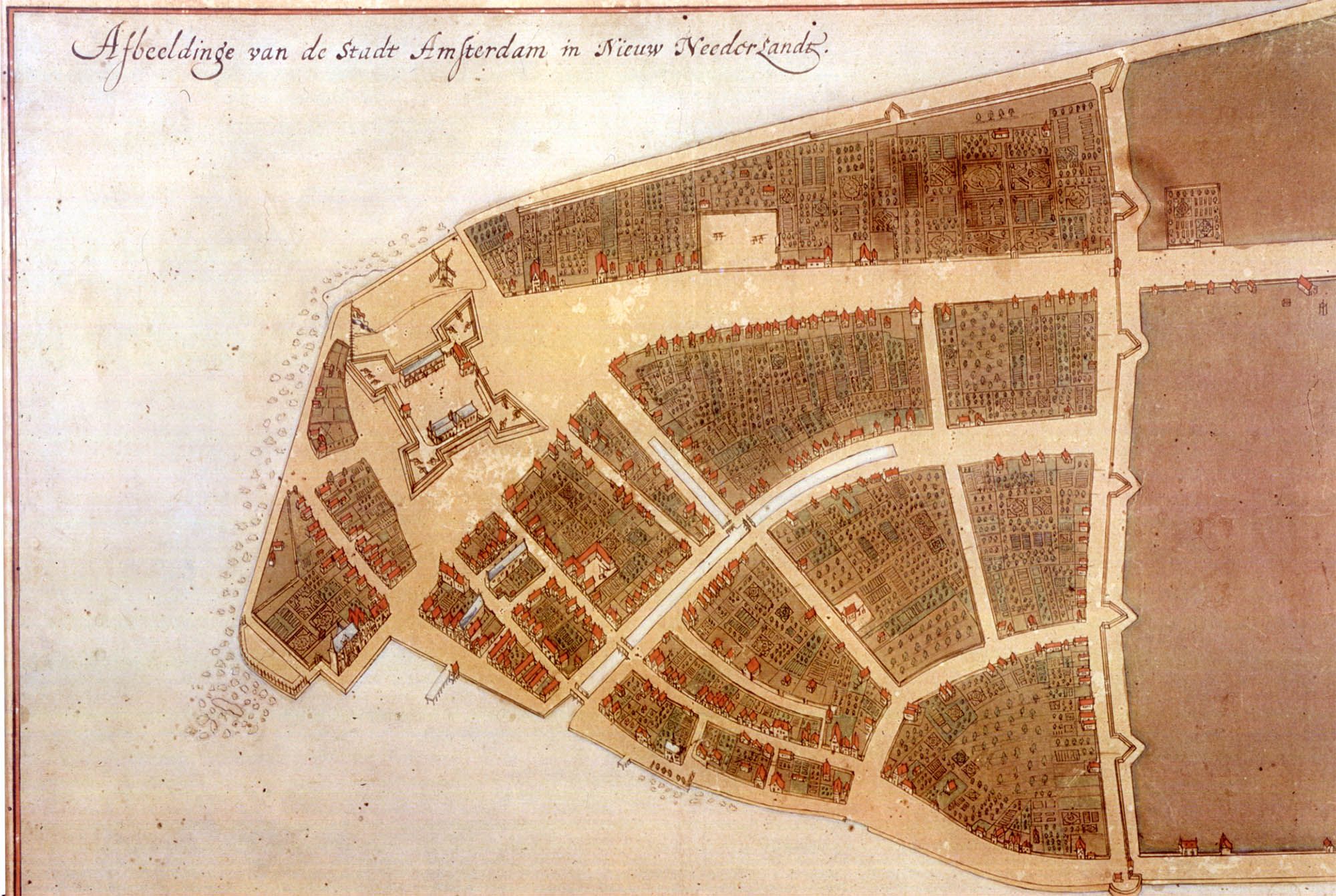
Castello Map,1660-Courtesy of NYC99.org
Castello map is considered one of the oldest documented maps of New York City in the 1660s, then called New Amsterdam. It shows a small accumulation of buildings near the port which was used for transportation of goods. Just a few years after this, British took over the city and renamed it as New York.
-
The Map of New York City in the 1760s
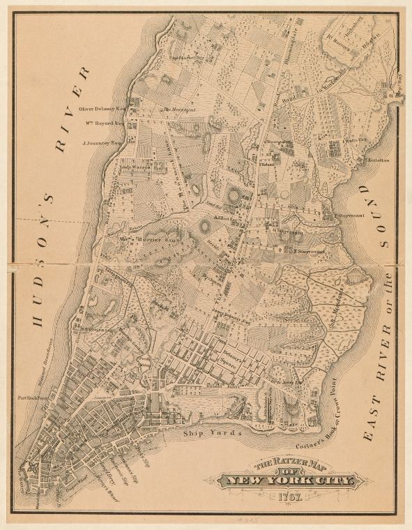
Ratzer Map,1770-Courtesy of New York Public Library
Ratzer map shows New York of 1767 when the city started growing and new buildings started stretching the boundaries of the city.
-
The Map of New York City in the 1800s
New York in 1880s-Courtesy of John Bachmann
In 1811, William Bridges created a map displaying the Grid system based on which the whole city was later designed.
-
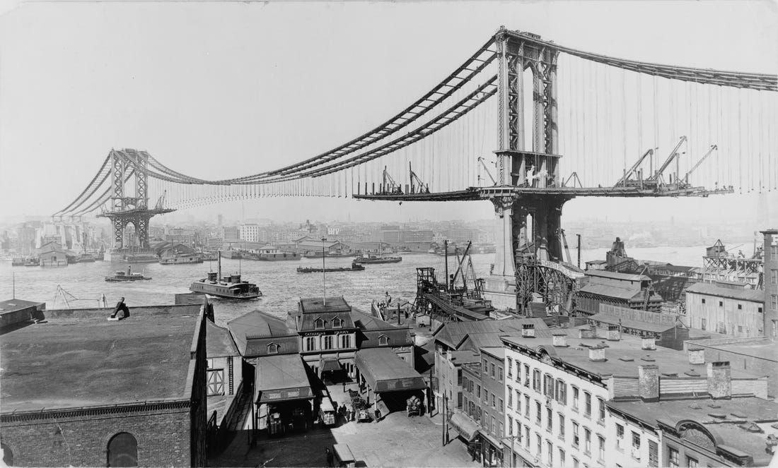
The Map of New York City in the 1850s
New York in 1851-Courtesy of Simpson
Drawn by Simpson in 1851, this map shows the two cities Brooklyn and Manhattan still devoid of any proper connection. Boats and water taxis were used by the commuters. John Bachman very aptly portrays the Bridge that connected the two cities in the 1880s. No one could have ever imagined the impact this bridge might have over the whole world.
-
The Map of New York City in the 1960s
View by Herman Bollmann in 1960s-Courtesy of David Rumsey
Hermann Bollmann’s view of New York City in the 1960s shows the skyscrapers that started dominating the whole architecture of the city.
-
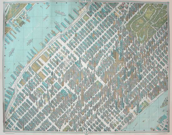
The Map of New York City in the 1985s
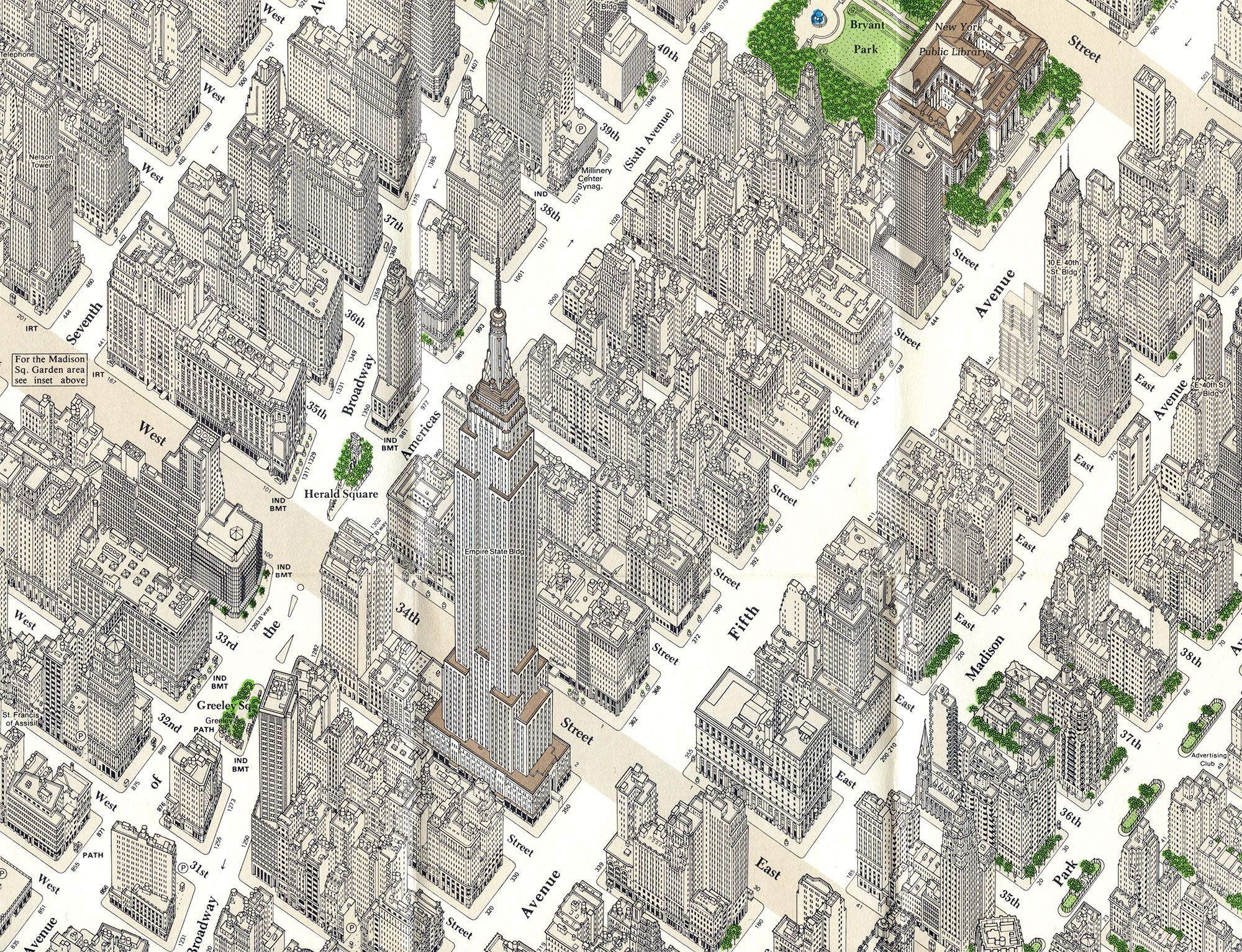
Constantine Anderson took two decades to document each and every window, opening, and even phone booths in the Manhattan area in 1985.
Airpana created this view in 2013 showing Central Park and an intimidating urban sprawl surrounding it.
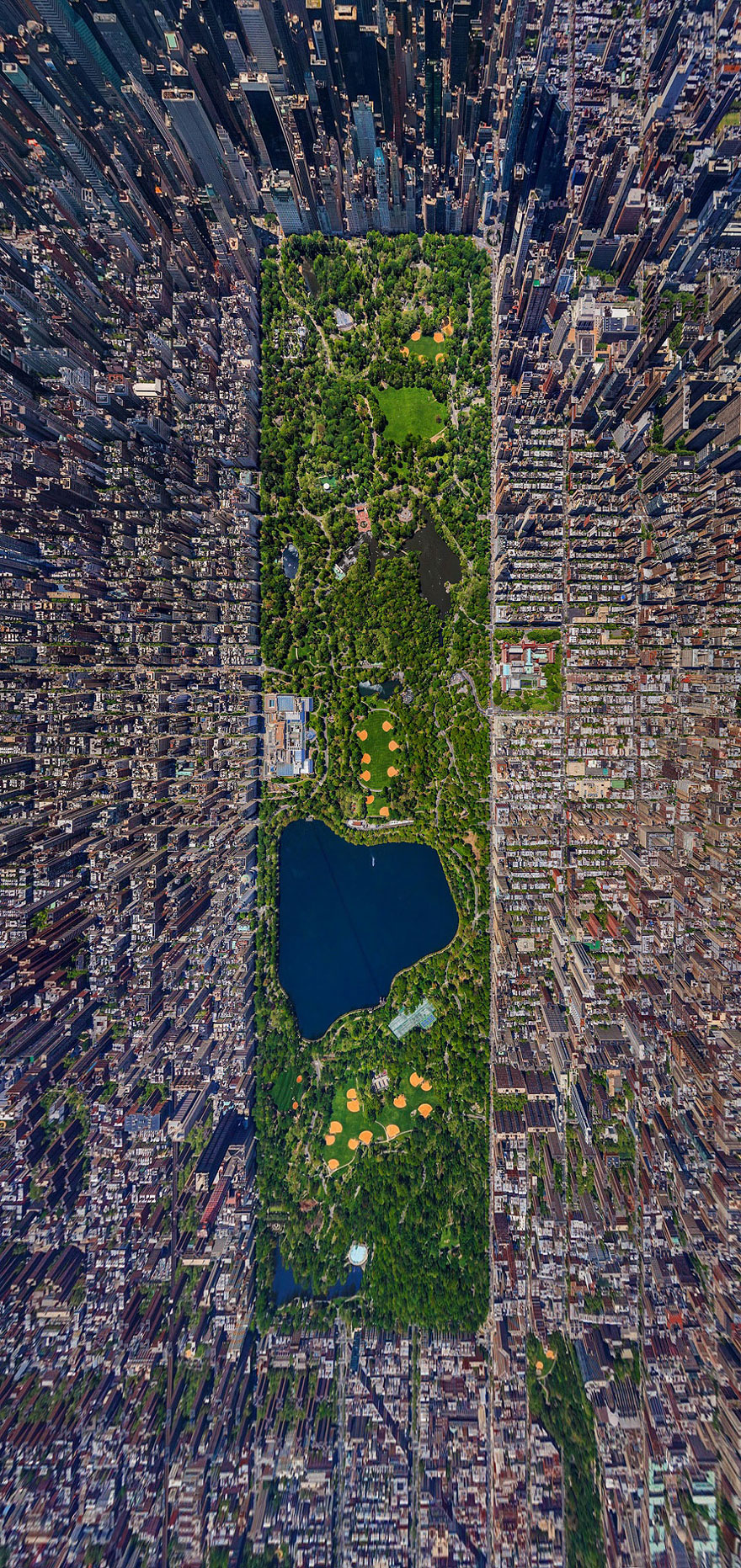
AirPano.com, dailymail, geekologie
Finally, we can figure out a pattern from the dramatic changes over the years in the layout of New York City. A city’s development is affected by its rulers, inhabitants, political and financial situations, as well as the advancement in the fields of technology and, consequently, architecture. The pattern has, surely, worked out well for “The Empire Estate”, for the city has become, arguably, the world’s financial and cultural center.
By: Vaibhav Sharma
Vaibhav Sharma is an editor at Arch2O with a background in architecture and urban design. He holds a Master’s degree in Urban Design from the University of Management & Technology. With experience as an architect at Master Consulting Engineers (Pvt.) Ltd. in Pakistan, Vaibhav brings a strong foundation in architectural and urban planning principles to his editorial work. His contributions to Arch2O reflect a commitment to exploring and communicating innovative design ideas and practices.